
When it comes to tree-planting, where your plant is as important as whether you plant, and how many saplings take root. An innovative data project from the North of England shows us, in handy traffic-light coding, how we can all plant smarter.
Plant a tree and save the planet; or so we’re told. Well you might be surprised to discover that not all tree planting is good tree planting. A tree planted in the wrong location can block watercourses or provide a wider vantage for predators of endangered species; it can even, in the case of tree-planting in ancient moor and peatlands, release carbon deposits that have safely been stored in the soil for decades, or longer.
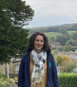
“It’s about planting the right trees in the right location to maximise environmental benefits,” says Alice Crosby, Project Officer of a smart tree-planting project in Nidderdale in the Yorkshire Dales, funded by British conservation charity the Woodland Trust. “An example of good planting would be around existing woodlands to create a new space for wildlife to expand their habitats. Poor planting would be in important habitats such as our heathland and moorlands, which already support rare species and contribute significantly to the UK’s targets for carbon sequestration.” In Nidderdale, bad planting has historically opened species of wading birds, such as the endangered curlew, to predation.
With around eight percent tree cover, Nidderdale is typical of British regions in having undergone historical waves of deforestation followed, after the 20th century’s two World Wars, by a programme of replanting of commercial woods such as conifers; with British fuel security, rather than conservation, in view. More recently, tree planting in the region was on landowners’ instigation, with local authorities only stepping in when these projects were on a large scale.
The idea with Nidderdale’s digital Woodland Opportunity Map says Nidderdale Biodiversity Officer Kelly Harmar, is to “flip that process and make it much less passive”. With 70 different factors accounted for, and data drawn from everywhere from grassroots volunteers taking soil samples to Google metrics, the accessible, traffic-light coded online map means Nidderdale can approach landowners, such as private utilities company Yorkshire Water, with the argument for tree-planting in a given spot.
This is where Crosby comes in, her remit being to approach landowners with data on where to plant, as well as advice on how to best withstand the exposed conditions of the Dales. Thanks to hymenoscyphus fraxineus, a chronic fungal disease that’s killing ash trees across the European continent, ash cannot be planted. Beeches, poorly suited to the exposed conditions of the Dales, are overplanted too. Instead Crosby often advises landowners to plant hardy varietals such as the downy birch.
“The idea is to combat climate change but also make the landscape more resilient, meaning that wildlife can thrive and move around more as it’s not impeded by poor tree planting,” Crosby explains.
The beauty of the map’s layered data is that it captures information across the seasons. “If you visit a spot during winter tree-planting season, for example, you wouldn’t know that migratory birds arrive there in summer,” Harmar adds. “A tool like this, that looks at historical data over a number of years, can tease out the sites where ecosystems might be most at risk.”
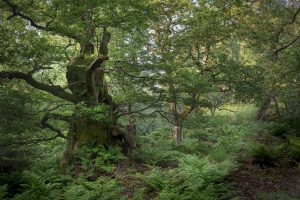
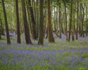
The team claims that Scandinavian countries such as Finland, with its 60 percent tree cover, much of which is ancient woodland, are their inspiration. Crosby is also documenting the patches of tree cover which are formed of ancient woodland, which has thrived on the same spot for millennia and is host to a range of ancient flora and fauna, including rare fungi, wild garlic and May-blooming bluebell fields. Surprisingly, the locations of these ancient habitats are poorly recorded, even in national archives.
With many of Nidderdale’s mid-war conifer woods approaching their 80-year harvest time, the plan is to replant hardy native species to 12 percent regional forest cover in the next decade, says Harmar. The Woodland Opportunity Map is a big part of this strategy and is being received well. “We only launched the map in October, but the landowners are responding positively and discussing where we might site trees in the next winter planting season,” Crosby says. The project, of course, is only effective if it inspires landowners to plant trees.
Beyond the arguments from data, the team’s loftier hope is to restore Britain’s woodland culture. “British people used to be woodland people and I think we’re rediscovering what we always knew: that forests are great for the planet, but also essential for our mental and physical health,” Crosby says, adding that her favourite forested spot is Hack Fall, where Victorian follies peep between ancient boughs.
Author: The India Story Agency for Sacred Groves
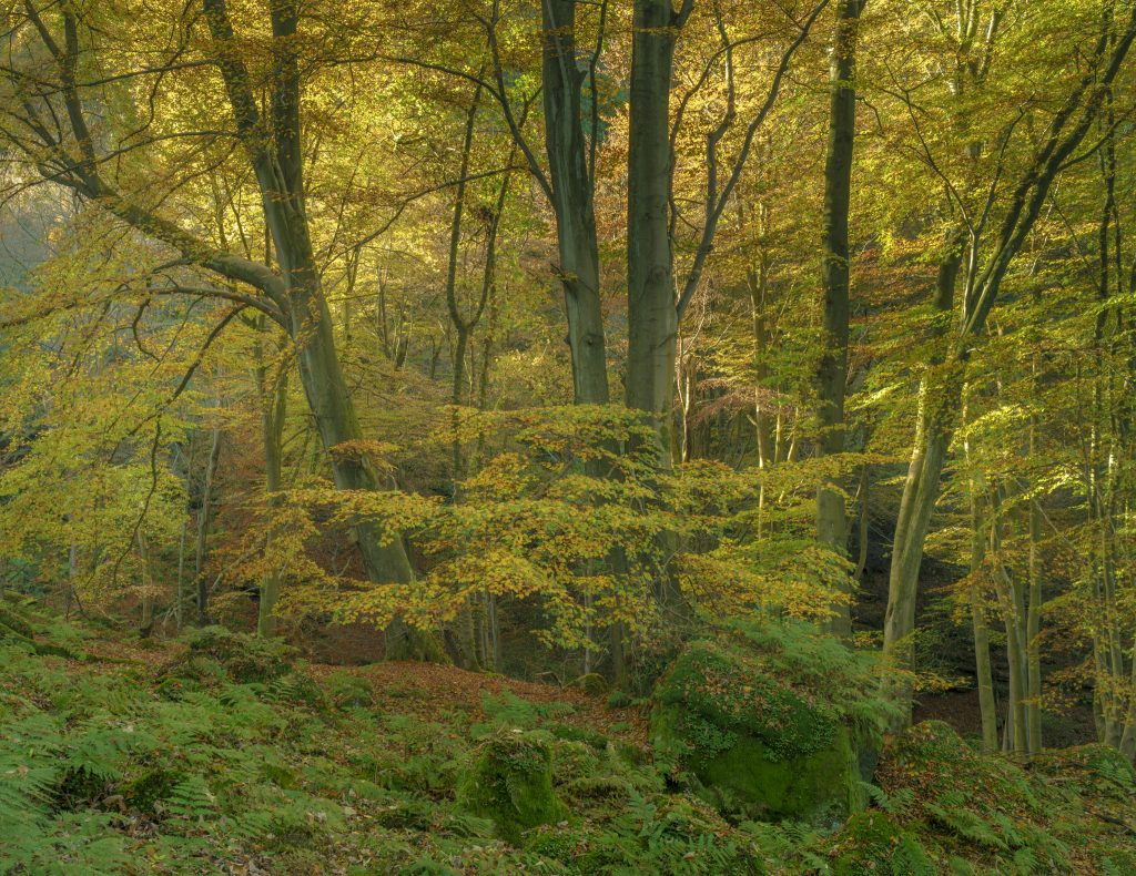
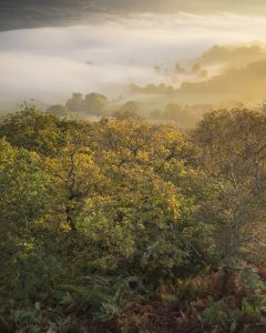
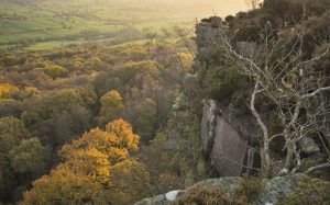
Images Credit: Nidderdale AONB Autumn Colours by David Tolcher
Did you enjoy this article?
Share with friends to inspire positive action.